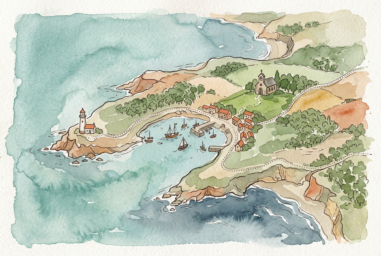
Watercolour map illustration for a travel guide
 Submitted by Max
Added 61 days ago
Submitted by Max
Added 61 days ago
Draw a hand-painted illustrated map of {{place}} for a {{guide / wedding invite / poster}}.

Geography first: keep the real coastline, river and main road shapes recognisable — I should be able to lay it over a real map and see the match. Orient north up unless I say otherwise.

Landmarks to draw as small illustrated icons, slightly oversized against the map scale: {{list 5-8}}. Everything else stays flat colour so the icons carry the eye.

Style: loose watercolour washes with visible paper texture, thin ink linework, a {{palette}} of no more than five colours, soft bleed at the edges of each wash.

No lettering at all — leave clear space beside each icon and I'll set the labels in type. No compass rose, no border frame, no drop shadow.
How to use it
Always set labels yourself. Generated map text is the single most common thing that gets a printed piece rejected.
Example output
Compatible popular AI tools
These tools are mapped to this prompt based on their capabilities.




People who liked this prompt
16 community likes
 Noah J.
 JordanK
 Nia D.
 Amara N.